Fort Frances Lookout Tower
CAN 16, ON 1
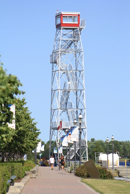
Photo courtesy of William Haddad
Lookout Details
| Registry Numbers | CAN 16, ON 1 (view other lookouts in Canada, Ontario) |
| Date Registered | December 31, 2023 |
| Nominated by | William Haddad |
| Location | Rainy River District, Ontario |
| Coordinates |
N 48° 36.418' W 093° 22.552' (view using Google Maps) N 48° 36' 25" W 093° 22' 33" N 48.606964° W 093.375864° |
| Elevation | 1,111 ft (339 m) |
| Administered by | Municipality of Fort Frances |
Description
This tower was originally constructed in the 1930s in a remote Atkikokan, Ontario where it served as a forest fire lookout and radar tower. It was relocated to Fort Frances in 1972 to be used as a tourist attraction. In 2009, it was moved again to its current location along the Rainy River.
Map
Change Basemap