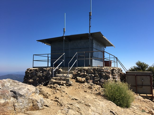
Cone Peak Lookout in 2018
Lookout Details
| Registry Numbers | US 1288, CA 126 (view other lookouts in United States, California) |
| Date Registered | December 8, 2018 |
| Nominated by | Scott McClintock |
| Location |
Los Padres National Forest Monterey County, California |
| Coordinates |
N 36° 03.122' W 121° 29.758' (view using Google Maps) N 36° 03' 07" W 121° 29' 45" N 36.052038° W 121.495959° |
| Elevation | 5,155 ft (1,571 m) |
| Built | 1923 |
| Administered by | U.S. Forest Service |
Description
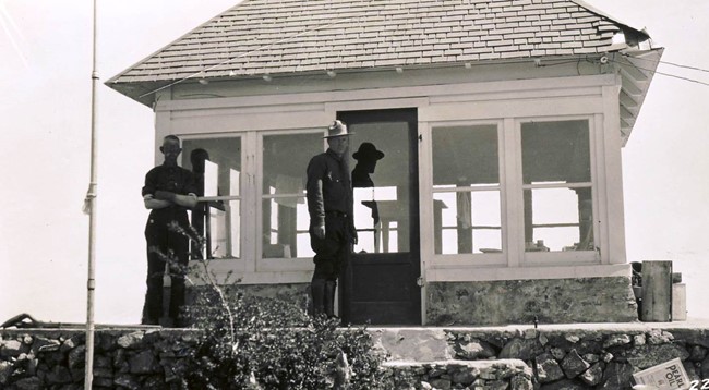
The original 13 X 13 wooden cab ground house on a rock foundation had a hipped "dunce cap" roof, and was called a "California Lookout" design. It was hauled up the two-mile steep and narrow trail in pieces by mules. With its coastal location, it served the Aircraft Warning Service during World War II. The roof was replaced with a flat roof in 1959, which could accommodate landing a Bell-47 helicopter. The wooden sides were subsequently replaced with metal siding, which has well protected the structure from fires and vandalism. The last known lookout to staff the facility worked there until 1990.
As of 2018, the cab is being used to hold radio repeater equipment. Because of this, the tower cannot immediately be reactivated for fire tower usage.
Map
Photos
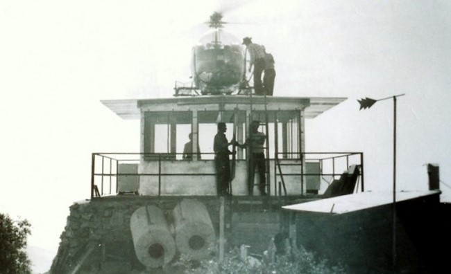
1959
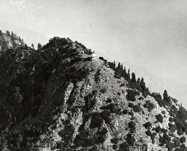
1941 Aerial View
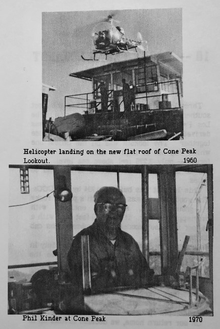
Photo courtesy of "Lookouts of the Los Padres Forest" By Irma Oksen Reaves - 1988
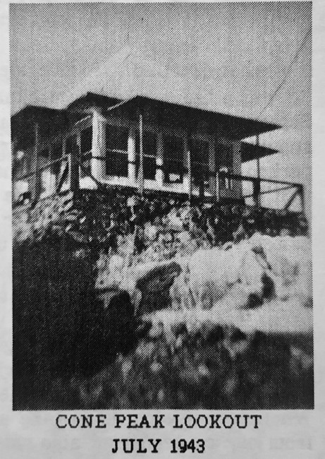
Photo courtesy of "Lookouts of the Los Padres Forest" By Irma Oksen Reaves - 1988
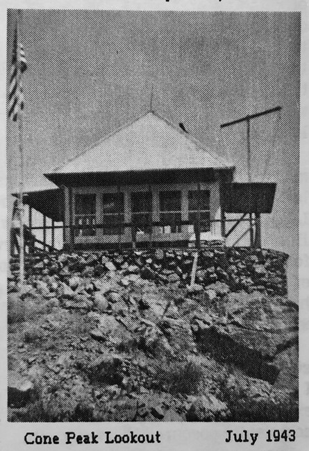
Photo courtesy of "Lookouts of the Los Padres Forest" By Irma Oksen Reaves - 1988
Earlier California Region 5 Plan 4AR Cabin
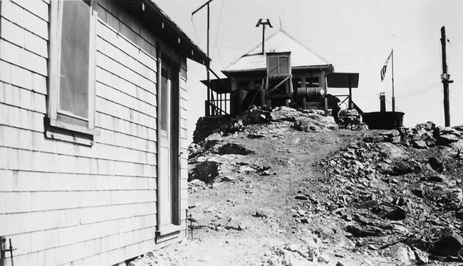
Photo courtesy of USFS - Craig R. Carey Collection