Hayfork Bally Lookout
US 1366, CA 189
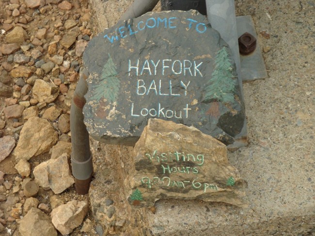
Hayfork Bally Lookout - 2009
Lookout Details
| Registry Numbers | US 1366, CA 189 (view other lookouts in United States, California) |
| Date Registered | October 29, 2019 |
| Nominated by | Brad Eells |
| Location |
Shasta-Trinity National Forest Trinity County, California |
| Coordinates |
N 40° 39.530' W 123° 13.144' (view using Google Maps) N 40° 39' 32" W 123° 13' 09" N 40.658835° W 123.219062° |
| Elevation | 6,268 ft (1,910 m) |
| Built | 1965 |
| Administered by | US Forest Service - Shasta-Trinity National Forest |
Description
Hayfork Bally has been a lookout site since at least 1920.
The U.S. Air Force acquired approximately one quarter of an acre near the lookout for an unmanned Gap Filler radar station. The improvements included a concrete block building, two 15,000 gallon underground fuel tanks, antenna tower, fencing and an improved gravel road. The site operated from 1958-63.
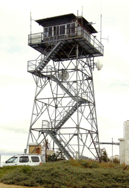
The current structure is a USFS National Plan CL-100 13x13 cabin on a 42 foot K-Brace steel tower constructed in 1965.
Map
Change Basemap
Photos
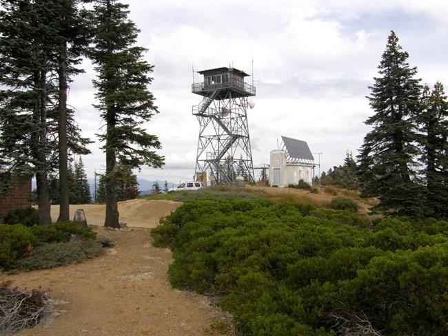
Photo courtesy of Ron Kemnow
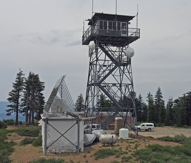
Photo courtesy of www.peakbagging.com
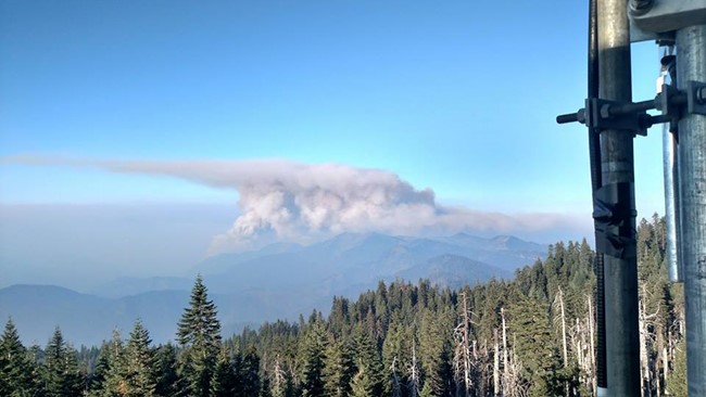
Helena - Fork Fire from Hayfork Bally Lookout - 2017
2008