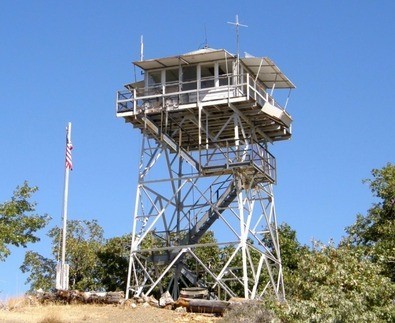
Bill Ulmer photo
Lookout Details
| Registry Numbers | US 1123, CA 109 (view other lookouts in United States, California) |
| Date Registered | March 20, 2016 |
| Nominated by | Bill Ulmer |
| Location |
Mendocino National Forest Lake County, California |
| Coordinates |
N 39° 12.581' W 122° 48.663' (view using Google Maps) N 39° 12' 35" W 122° 48' 40" N 39.209677° W 122.811048° |
| Elevation | 4,841 ft (1,476 m) |
| Built | 1935 |
| Administered by | U.S. Forest Service |
Description
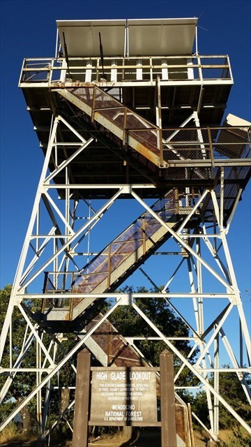
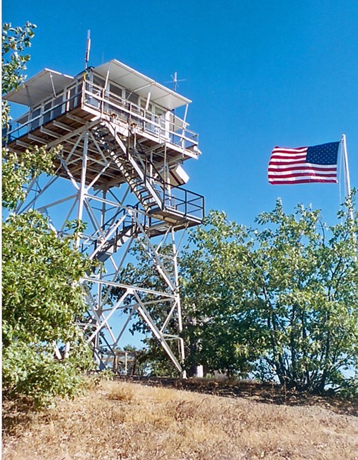
The High Glade Lookout was built in 1935 by the Civilian Conservation Corps using U.S. Forest Service plans. It had a standard 14'x14' cab, which was destroyed by the Ranch Fire about July 31, 2018.
A replacement 10'-by-10' cab was constructed beginning in October 2024. The rehabilitated tower was finished by Fall 2025, and the tower was staffed again for the first time since the Ranch Fire in June 2026. The total cost of the rebuild, including architectural and structural engineering design work, was $1.1 million. Funds from a 2022 disaster relief supplemental appropriation were used.
Map
Photos
Bill Ulmer photo
Bill Ulmer photo
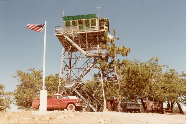
High Glade Lookout - Circa 1960's
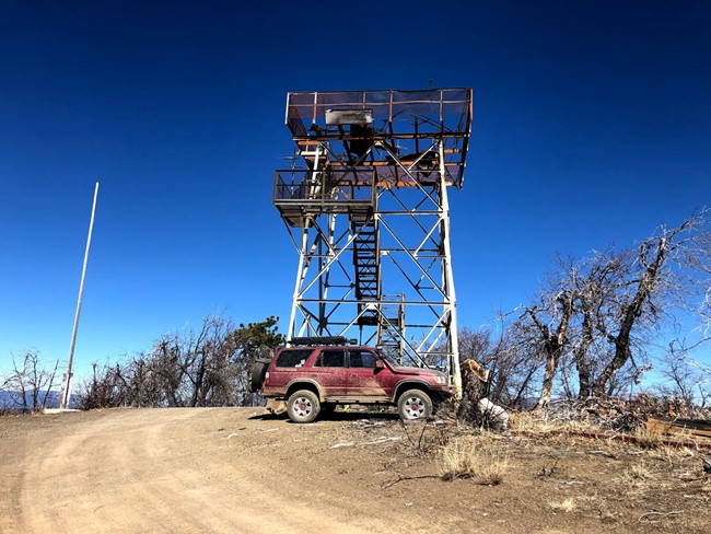
High Glade Lookout 2021 - Destroyed July 2018