2002
Lookout Details
| Registry Numbers | US 1347, CA 170 (view other lookouts in United States, California) |
| Date Registered | October 26, 2019 |
| Nominated by | Brad Eells |
| Location |
Latour State Demonstration Forest Shasta County, California |
| Coordinates |
N 40° 36.452' W 121° 42.531' (view using Google Maps) N 40° 36' 27" W 121° 42' 32" N 40.607532° W 121.708847° |
| Elevation | 6,738 ft (2,054 m) |
| Built | 1935/1978 |
| Administered by | California Department of Forestry and Fire Protection - Shasta-Trinity Unit (Cal Fire SHU) |
Description
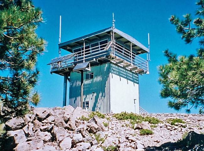
The 19 foot tower is a CCC building based closely on either the Forest Service L-101 (single story, enclosed tower) or the L-301 (two story open tower). The original BC-301 cab has been replaced with CDF's standard (732-6A) cab design (Plan Number 799-lA for the remodel). The original catwalk, external staircase and exterior paneling have been replaced. The second story landing has been removed. The access door has also been removed and the doorway boarded shut. The tower windows have been replaced with aluminum frame, 1/1 sliders. In essence, only the tower's infrastructure, internal stairway and part of the second floor appear to be of original CCC materials.
Latour Butte is a cinder cone located to the northwest of Lassen Volcanic National Park. The lava rock covered summit is vegetated in fir, pine and brush. The area is within the Latour State Forest. The station is not readily accessible to the public, being some 11 miles from paved road, behind locked gates. (MVT 10/91)
Map
Photos
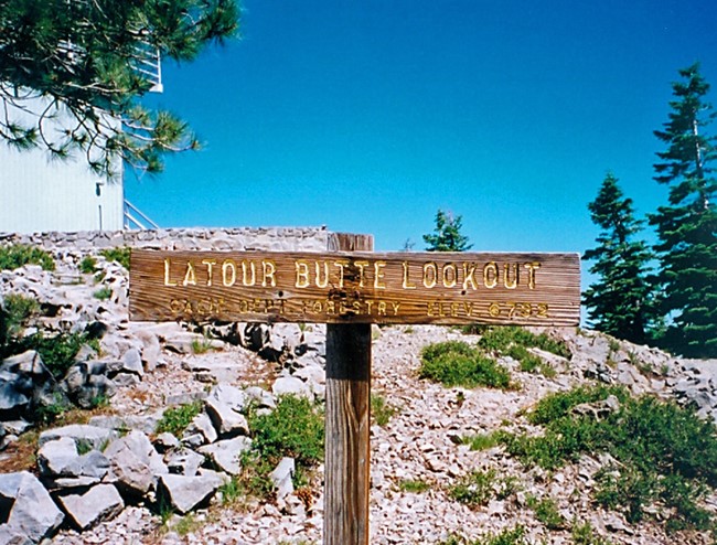
Photo courtesy of Fred Johnson
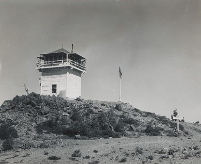
1944 BC-301 on a timber tower