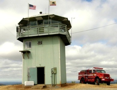
August 2009 photo by Ron Kemnow
Lookout Details
| Registry Numbers | US 1065, CA 106 (view other lookouts in United States, California) |
| Date Registered | March 16, 2015 |
| Nominated by | Al Ramirez |
| Location | El Dorado County, California |
| Coordinates |
N 38° 49.090' W 121° 01.792' (view using Google Maps) N 38° 49' 05" W 121° 01' 48" N 38.818159° W 121.029873° |
| Elevation | 1,869 ft (570 m) |
| Built | 1958 |
| Administered by | California Department of Forestry and Fire Protection |
Description
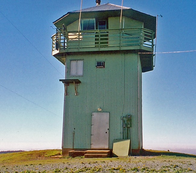
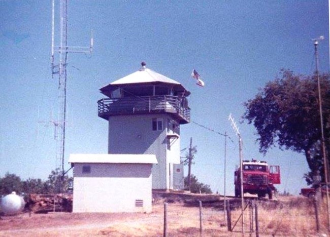
During the Gold Rush era, a bonfire was lighted on the highest peak in Pilot Hill. This peak was known as Pilot Hill Lookout. The bonfire was a beacon used by travelers and merchants transporting their wares to the miners from the Sacramento Valley. The Pilot Hill Lookout remains in use by the California Department of Forestry and Fire Protection. (Alberto Ramirez)
The facility is believed to have been built during the time of the new Folsom Dam project. The lookout is based on the revised 809R plan which includes: aluminum sheeting, cab windows set on an angle and steel mullions installed for roof support. "As-builts" for this facility (Plan No. 237) were drawn up in 1958. The building was subsequently remodeled. The entry annex is absent and there are a few other deviations from the 809R plan: plywood (interior) paneling added on ground floor, wood fire escape ladder replaced with folding, steel ladder (on east side), and soffit "v" groove replaced with plywood sheeting. This building replaced a 1935 CCC lookout.
Pilot Hill is a short, northwest tending ridge located to the southeast of the North Fork of the American River. The area is covered in annual grasses with a liberal scattering of brush, ponderosa pine, digger pine and oak. There is a 1,750 gallon concrete water storage tank to the southeast of the lookout. A small repeater tower and vault is to the south of the tower. The site is not readily accessible to the public being about 1.5 miles from paved road, behind a private subdivision, security gate. (MVT 10/91)
Map
Photos
December 19, 2004 photo by Fred Johnson
1986