Sid Ormsbee Lookout
US 883, CA 93
Lookout Details
| Registry Numbers | US 883, CA 93 (view other lookouts in United States, California) |
| Date Registered | June 19, 2010 |
| Nominated by | Brad Eells |
| Location |
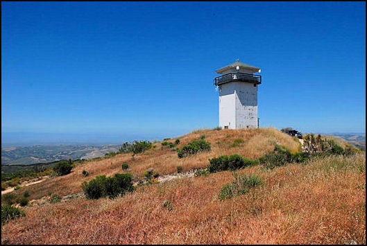
Pinyon Peak Monterey County, California |
| Coordinates |
N 36° 29.376' W 121° 47.197' (view using Google Maps) N 36° 29' 23" W 121° 47' 12" N 36.489600° W 121.786620° |
| Elevation | 2,253 ft (687 m) |
| Built | 1948 |
| Administered by | Santa Lucia Preserve |
| Cooperators | Santa Lucia Preserve |
Description
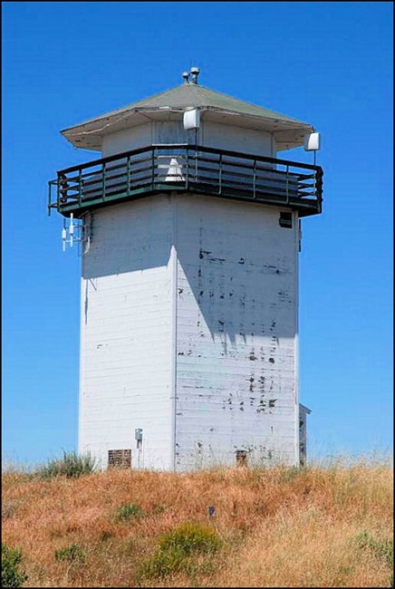
Named for a State Forest Ranger killed in World War II, Sid Ormsbee Lookout has a 16'x16' octagonal CalFire cab on a 30' enclosed tower. Located on the Santa Lucia Preserve, access is by permission only.
Map
Change Basemap
Photos
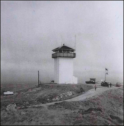
Vintage photo

Photo of Sid Ormsbee and photos of former lookouts
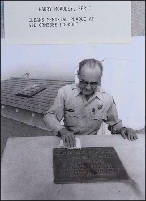
Sid Ormsbee Plaque
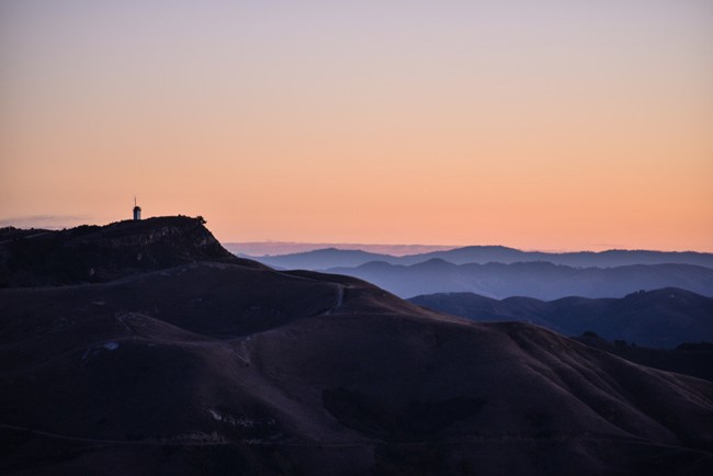
Sid Ormsbee Lookout at sunset