Smith Peak Lookout (Plumas National Forest)
US 1420, CA 225
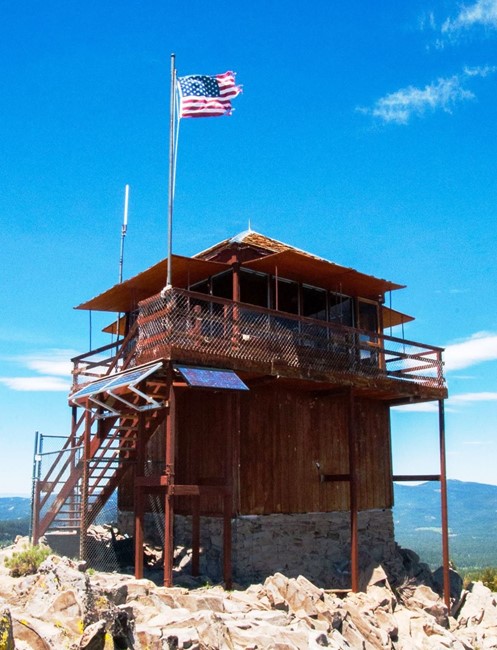
Smith Peak Lookout - June 2020
Lookout Details
| Registry Numbers | US 1420, CA 225 (view other lookouts in United States, California) |
| Date Registered | June 3, 2020 |
| Nominated by | Brad Eells |
| Location |
Plumas National Forest Plumas County, California |
| Coordinates |
N 39° 52.047' W 120° 31.845' (view using Google Maps) N 39° 52' 03" W 120° 31' 51" N 39.867450° W 120.530747° |
| Elevation | 7,693 ft (2,345 m) |
| Built | 1936 |
| Administered by | US Forest Service - Plumas National Forest |
Description
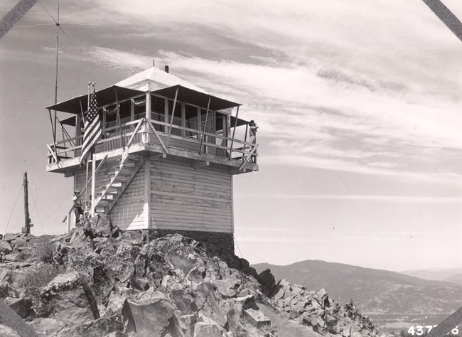
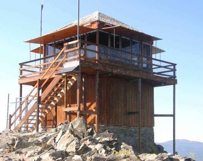
Smith Peak is a California Region 5 Plan BC-301 cabin on a 9 foot enclosed timber tower. The structure was completed in August 1936 and is actively staffed as of 2020.
Map
Change Basemap
Photos
September 1945
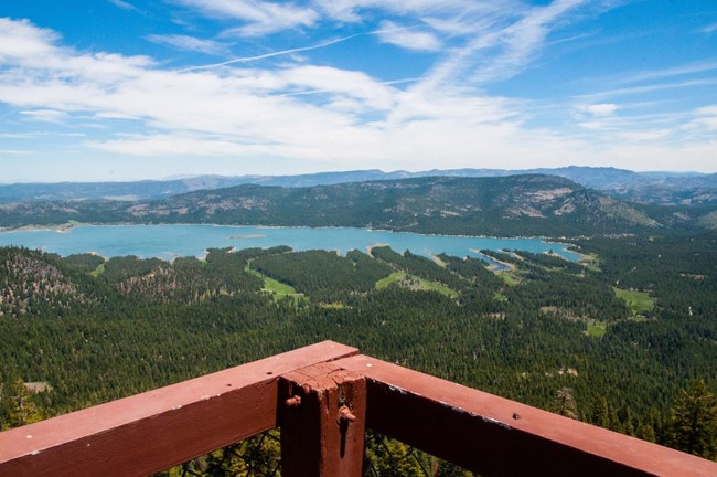
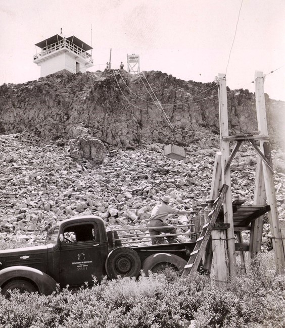
Photo courtesy of Tenaya Wood
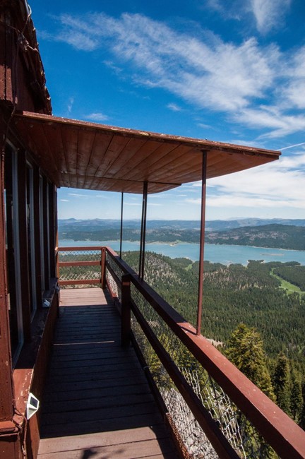
Photo courtesy of Tenaya Wood
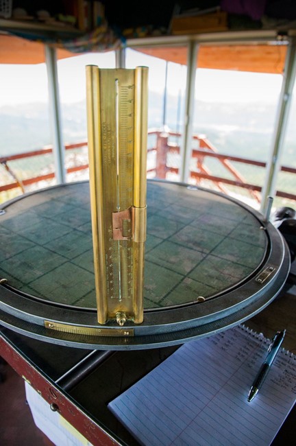
Photo courtesy of Tenaya Wood
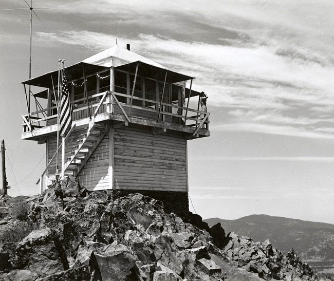
2008