Sugarloaf Lookout
US 1349, CA 172
Sugarloaf Lookout - 2009
Lookout Details
| Registry Numbers | US 1349, CA 172 (view other lookouts in United States, California) |
| Date Registered | October 27, 2019 |
| Nominated by | Brad Eells |
| Location |
Shasta-Trinity National Forest Shasta County, California |
| Coordinates |
N 40° 54.866' W 122° 26.695' (view using Google Maps) N 40° 54' 52" W 122° 26' 42" N 40.914436° W 122.444912° |
| Elevation | 3,944 ft (1,202 m) |
| Built | 1931 |
| Administered by | US Forest Service - Shasta-Trinity National Forest |
Description
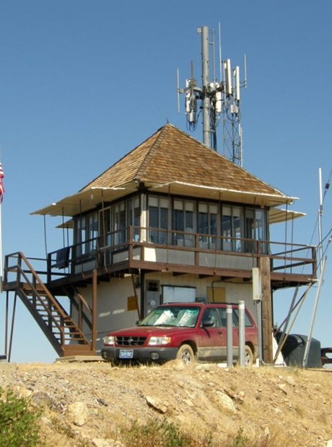
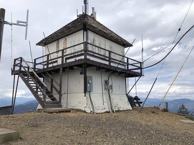
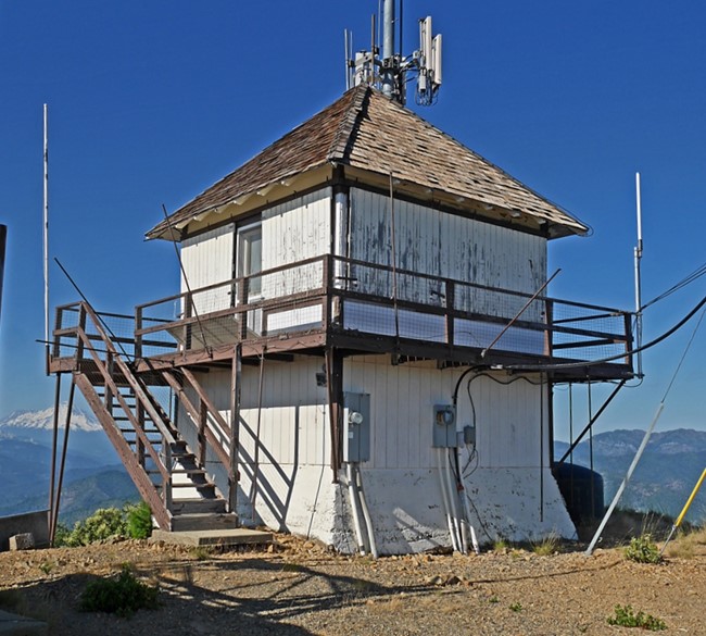
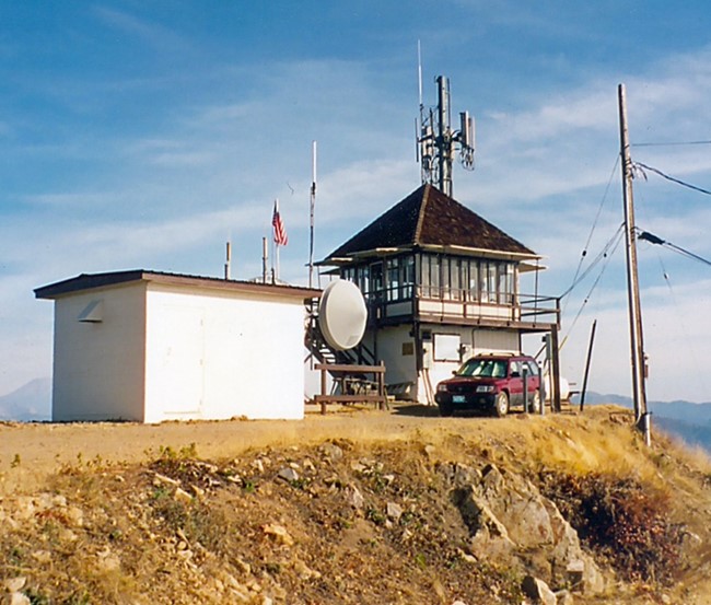
Sugarloaf Lookout (also named 'Sugarloaf Mountain') is a California Region 5 Plan - 4AR cabin on an 8 foot concrete tower.
Map
Change Basemap
Photos
2019
2017
2005