Thompson Peak Lookout
Lookout Details
| Registry Numbers | US 1340, CA 163 (view other lookouts in United States, California) |
| Date Registered | October 26, 2019 |
| Nominated by | Brad Eells |
| Location |
Plumas National Forest Plumas County, California |
| Coordinates |
N 40° 15.658' W 120° 33.458' (view using Google Maps) N 40° 15' 39" W 120° 33' 28" N 40.260964° W 120.557639° |
| Elevation | 7,777 ft (2,370 m) |
| Built | 1931 |
| Administered by | US Forest Service - Plumas National Forest |
Description
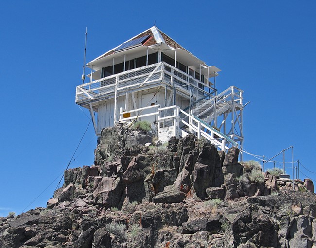
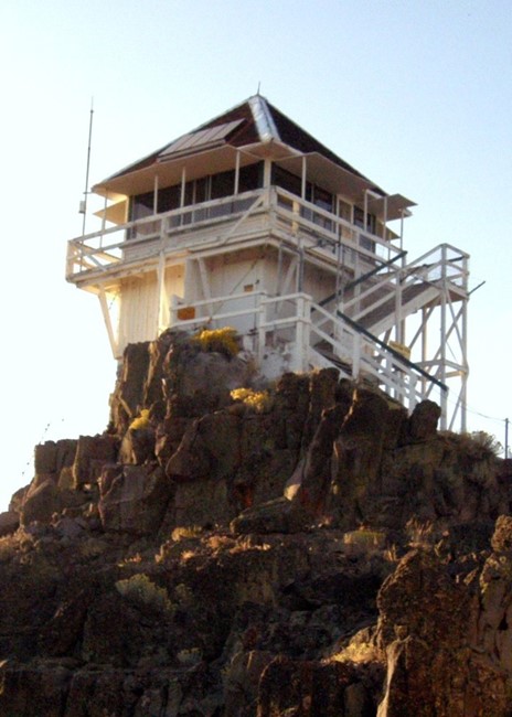
Thompson Peak was constructed and opened in June 1931. The lookout is an R1 design, a Region 1 revision of the California Region 4AR per Thornton. The tower is enclosed timber at 9 feet tall.
Thompson Peak also hosted the Janesville Gap Filler Radar Annex facility from 1958 to 1970.
The Site was utilized by the US Air Force as an Aircraft Control & Warning (AC&W) site. This AC&W Site was part of the Semi-Automatic Ground Environment (SAGE) radar system. The Former Janesville GFA utilized an AN/FPS-18 model gap filler radar, where "AN/FPS" is an acronym for Army-Navy Fixed, Pulsed radar, Search electronic device. (www.militarymuseum.org)
Map
Photos
2008
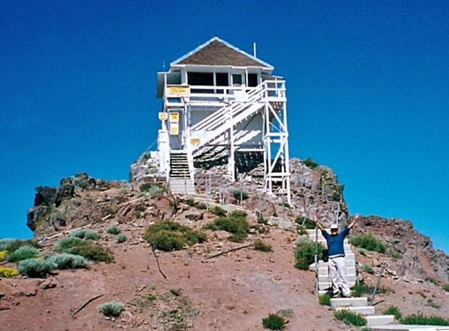
2000
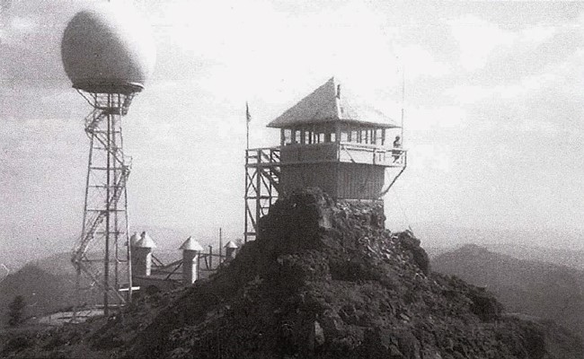
Janesville Gap Filler Radar Annex and Thompson Peak Fire Lookout - Late 1950's
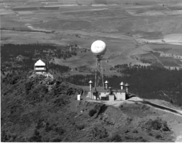
Photo courtesy of www.militarymuseum.org
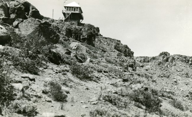
1950