Tollgate Lookout - 2022
Lookout Details
| Registry Numbers | US 1599, CA 227 (view other lookouts in United States, California) |
| Date Registered | May 27, 2022 |
| Nominated by | Jonathan Wright |
| Location |
Frank and Joan Randall Preserve Kern County, California |
| Coordinates |
N 35° 13.890' W 118° 27.016' (view using Google Maps) N 35° 13' 53" W 118° 27' 01" N 35.231503° W 118.450266° |
| Elevation | 5,593 ft (1,705 m) |
| Built | Circa 1940 |
| Administered by | The Nature Conservancy |
| Cooperators | Kern County Fire Department |
Description
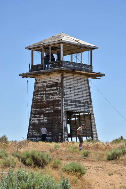
Tollgate Lookout was constructed by the Kern County Fire Department circa 1940. A 12x12 cabin sits atop an 20 foot enclosed timber tower.
The lookout was staffed through at least 1965.
The land is now owned by The Nature Conservancy as part of the Frank and Joan Randall Preserve on the former Loop Ranch property.
Map
Photos
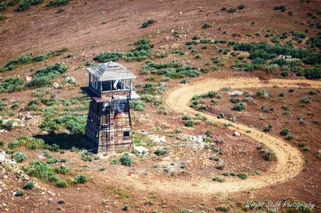
Tollgate Lookout - Aerial Survey
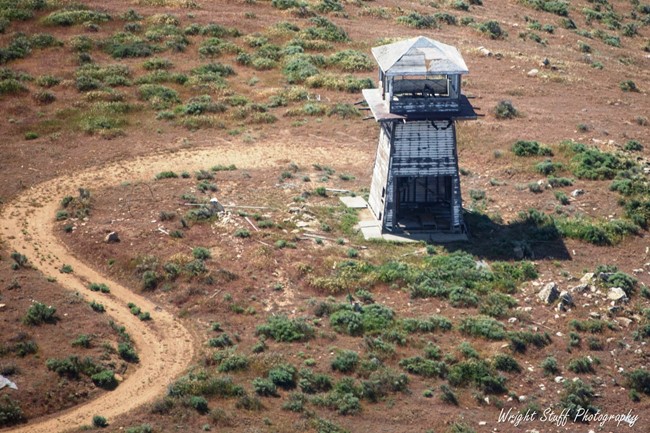
Photo courtesy of Wright Stuff Photography
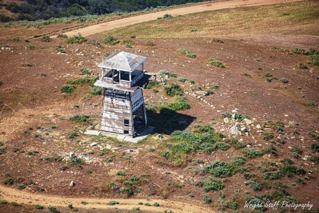
Photo courtesy of Wright Stuff Photography
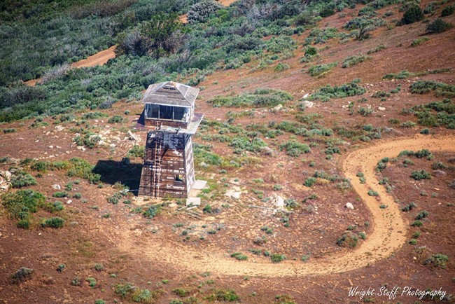
Photo courtesy of Wright Stuff Photography
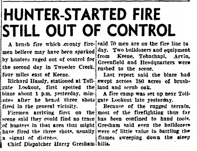
September 17, 1952

Northeast cabin view
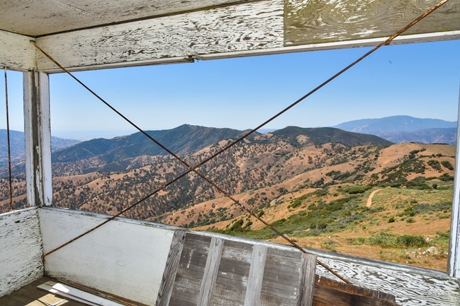
Southwest cabin view
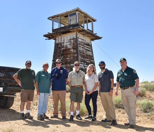
Visit Group - June 26, 2022