Bald Mountain Lookout (Sawtooth National Forest)
US 1432, ID 124
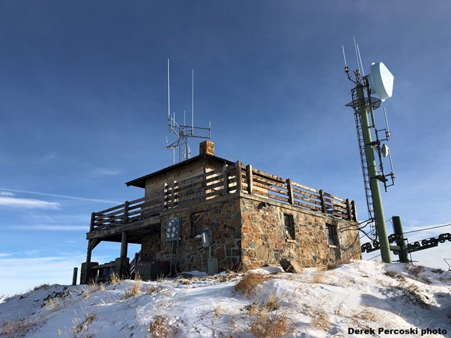
Bald Mountain Lookout - 2018
Lookout Details
| Registry Numbers | US 1432, ID 124 (view other lookouts in United States, Idaho) |
| Date Registered | September 28, 2020 |
| Nominated by | Brad Eells |
| Location |
Sawtooth National Forest Blaine County, Idaho |
| Coordinates |
N 43° 39.291' W 114° 24.561' (view using Google Maps) N 43° 39' 17" W 114° 24' 34" N 43.654854° W 114.409355° |
| Elevation | 9,160 ft (2,792 m) |
| Built | 1958 |
| Administered by | US Forest Service - Sawtooth National Forest |
Description
Bald Mountain has hosted a lookout structure since 1921. The second structure was an L-4 cabin on a stone base built in 1937. The current building was constructed in 1958.
Staffing was discontinued in the mid-1990's
Map
Change Basemap
Photos
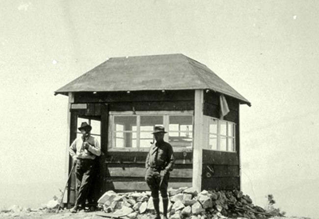
Circa 1920's
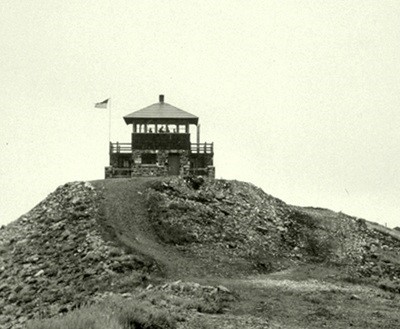
1941