Pequot Fire Tower
US 61, MN 2
Lookout Details
| Registry Numbers | US 61, MN 2 (view other lookouts in United States, Minnesota) |
| Date Registered | June 2, 1993 |
| Nominated by | Curt Cogan, MN DNR District Forester |
| Location |
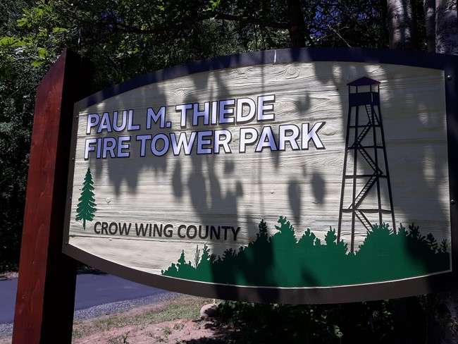
Paul M. Thiede Fire Tower Park Crow Wing County, Minnesota |
| Coordinates |
N 46° 36.312' W 094° 17.704' (view using Google Maps) N 46° 36' 19" W 094° 17' 42" N 46.605200° W 094.295065° |
| Elevation | 1,334 ft (407 m) |
| Administered by | Crow Wing County |
| Cooperators | Minnesota Division of Forestry |
Description
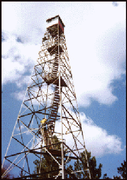
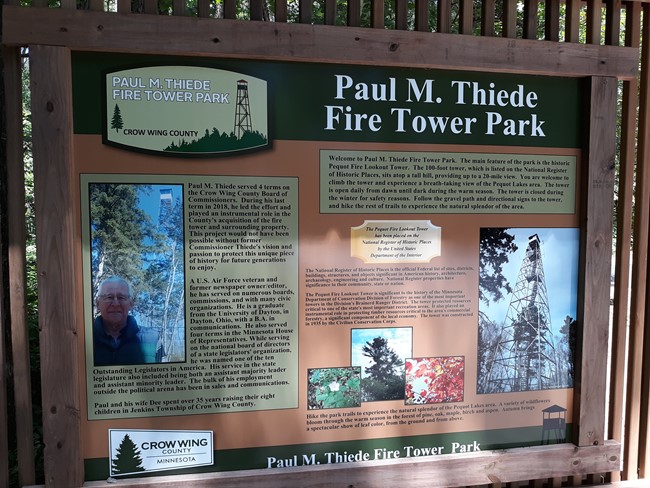
Minnesota’s second listing, Pequot Lookout Tower, was built by the CCC and MN-DNR Division of Forestry crews in 1934. At 100’ with a 7x7 cab, it is still valued as a detection site in the popular wooded lakes region of central Minnesota.
The tower is now the centerpiece of Paul M. Thiede Fire Tower Park, named after a former Crow Wing County commissioner who spearheaded preservation of the tower.
Map
Change Basemap
Photos
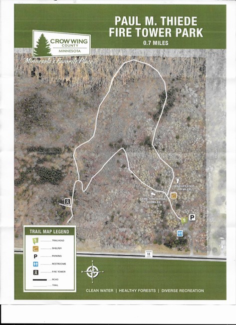
Trail map