Lookout Details
| Registry Numbers | US 1407, NC 27 (view other lookouts in United States, North Carolina) |
| Date Registered | March 24, 2020 |
| Nominated by | Gavin Auten |
| Location |
Uwharrie National Forest Montgomery County, North Carolina |
| Coordinates |
N 35° 24.408' W 079° 59.934' (view using Google Maps) N 35° 24' 24" W 079° 59' 56" N 35.406800° W 079.998900° |
| Elevation | 832 ft (254 m) |
| Built | 1936 |
| Administered by | U.S. Forest Service |
Description
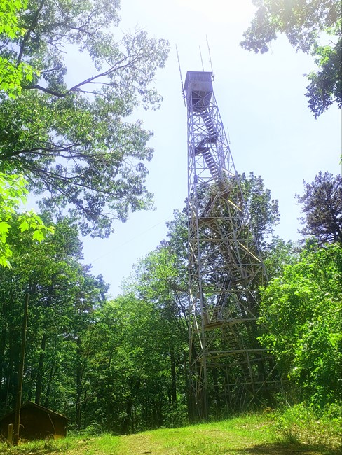
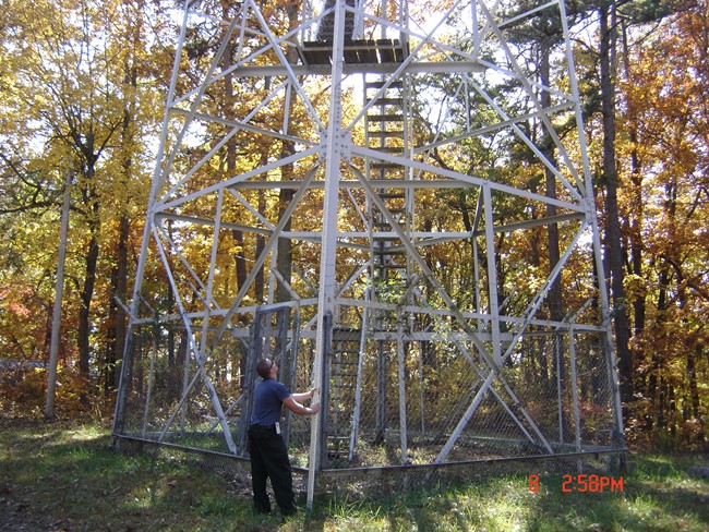
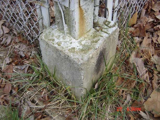
The Buck Mountain tower rises from its 830-foot namesake in the community of Uwharrie. This metal structure dates to 1936 and was likely built by the Civilian Conservation Corps. The base of its 7-foot-by-7-foot cab is 94 feet from the ground.
Years ago, Jessie Sanders sometimes logged 14-hour shifts, seven days per week, in the Buck Mountain tower. (He and his fellow spotters also liked the bonus pay that came with fighting fires on the ground.) The tower used to be staffed consistently during dry weather, but now, with limited resources, Sanders or another ranger is dispatched to monitor our forests only during extreme conditions. It’s primarily used for locating fires after the USFS receives a smoke report. Sanders notes they receive more calls these days because so many people have cell phones. This mobile technology has replaced the tower’s old radio system, but its Osborne Fire Finder – a simple device developed almost a century ago – is still in operation.
A recently completed USFS study determined the Buck Mountain tower is eligible for the National Register of Historic Places. Many fire towers have been removed, so the ones that remain have a special significance. The Buck Mountain tower helps rangers protect our forests, but it also stands as a reminder of how our nation’s history has been shaped by fire.
Map
Photos

August 2024 view from the tower stairs