Senecaville Fire Tower
US 1026, OH 15
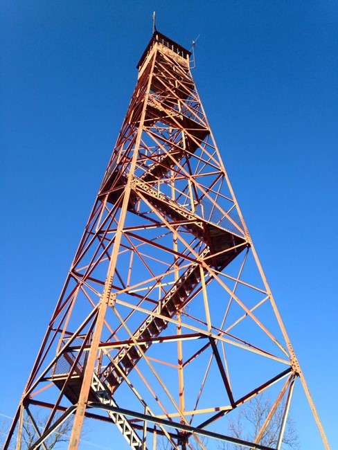
Scott Gilmore photo
Lookout Details
| Registry Numbers | US 1026, OH 15 (view other lookouts in United States, Ohio) |
| Date Registered | September 3, 2014 |
| Nominated by | Mark |
| Location | Noble County, Ohio |
| Coordinates |
N 39° 53.855' W 081° 25.057' (view using Google Maps) N 39° 53' 51" W 081° 25' 03" N 39.897583° W 081.417611° |
| Elevation | 1,198 ft (365 m) |
| Administered by | Private Owner (Chuck Kolb) |
Description
This tower is privately owned and hosts radio equipment for the Muskingum Watershed Conservancy District.
Map
Change Basemap