Black Butte Lookout (Deschutes NF)
US 91, OR 12
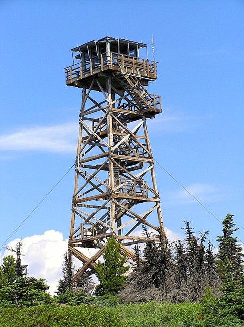
Black Butte Lookout - 2006
Lookout Details
| Registry Numbers | US 91, OR 12 (view other lookouts in United States, Oregon) |
| Date Registered | September 10, 1994 |
| Nominated by | Doug Newman (in 1991), Ron Johnson and Gary McAtee (1992) |
| Location |
Deschutes National Forest Jefferson County, Oregon |
| Coordinates |
N 44° 23.990' W 121° 38.191' (view using Google Maps) N 44° 23' 59" W 121° 38' 11" N 44.399835° W 121.636512° |
| Elevation | 6,360 ft (1,939 m) |
| Administered by | U.S. Forest Service |
| Cooperators | Sisters Ranger District and Friends of Black Butte Lookout |
Description
There is an extraordinary amount of fire lookout history atop Black Butte within the Deschutes National Forest in Oregon. The original D-6 cupola lookout was built in 1922 and is still in use in 1994. In 1934 a 82’ wooden tower with 7x7’ cab was constructed for better visibility. The 1934 tower structure collapsed in the winter of 2002….due to heavy ice and snow loads during a winter storm. In 1980 a new ground quarters cabin was built and in 1994 work began on a new 65 tower with 10x 10’ cab. Black Butte is a scenic and popular hiking destination and is still staffed for fire detection.
Map
Change Basemap
Photos
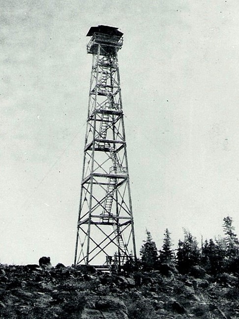
Black Butte Lookout - 1972