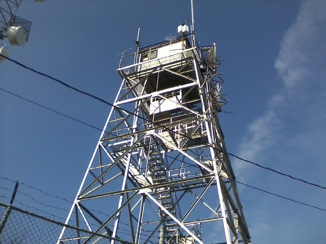
Clarks Knob (Gobblers Knob) Fire Tower
US 1042, PA 17

Gary McIntire photo
Lookout Details
| Registry Numbers | US 1042, PA 17 (view other lookouts in United States, Pennsylvania) |
| Date Registered | September 3, 2014 |
| Nominated by | Ron Stafford |
| Location | Franklin County, Pennsylvania |
| Coordinates |
N 40° 03.010' W 077° 44.839' (view using Google Maps) N 40° 03' 01" W 077° 44' 50" N 40.050170° W 077.747323° |
| Elevation | 2,325 ft (709 m) |
| Built | 1945 |
| Administered by | Pennsylvania Department of Conservation and Natural Resources |
| Cooperators | Pennsylvania Department of Conservation and Natural Resources |
Description
This tower was built in 1945 by AT&T to replace a former state fire tower that had been on the same location. AT&T uses the large cab on the top of the tower for communication equipment. The cab from the previous tower was relocated to a lower level and used by PA DCNR staff for fire monitoring as needed.
Map
Change Basemap