Kinepoway Lookout
US 1294, WI 54
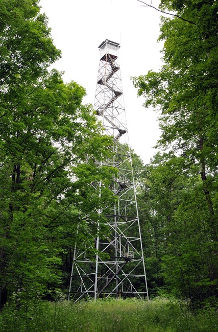
Photo courtesy of Brian Ziegler
Lookout Details
| Registry Numbers | US 1294, WI 54 (view other lookouts in United States, Wisconsin) |
| Date Registered | March 14, 2019 |
| Nominated by | Brecken Young |
| Location |
Private Property - Menominee Indian Reservation Menominee County, Wisconsin |
| Coordinates |
N 44° 59.967' W 088° 40.414' (view using Google Maps) N 44° 59' 58" W 088° 40' 25" N 44.999447° W 088.673564° |
| Elevation | 1,296 ft (395 m) |
| Built | by 1934 |
| Administered by | Formerly Wisconsin Department of Natural Resources, now Menominee Tribal Enterprises |
Description
Coast and Geodetic Survey notes indicate the Kinepoway Lookout Tower was in place by 1934, although the exact date of construction is unknown. The Wisconsin Conservation Commission built the lookout and it was staffed intermittently during spring fire season until 2015 when the Wisconsin DNR decommissioned its lookout network. Fire protection on the reservation is done cooperatively by both the DNR and Tribe, and although the lookout is still standing, it’s unknown if the Menominee Tribe staffs the tower for fire detection.
Map
Change Basemap
Photos
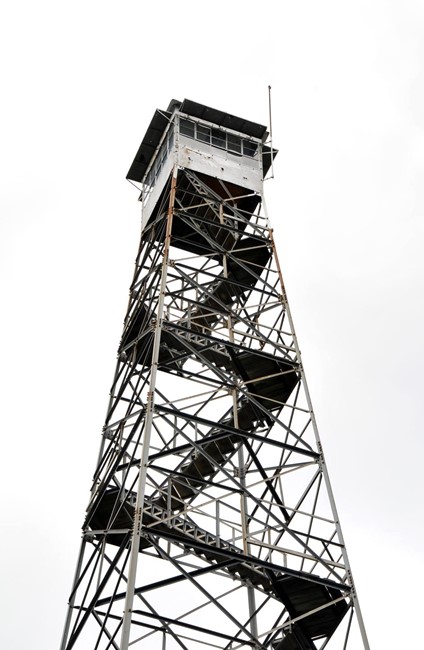
Photo courtesy of Brian Ziegler