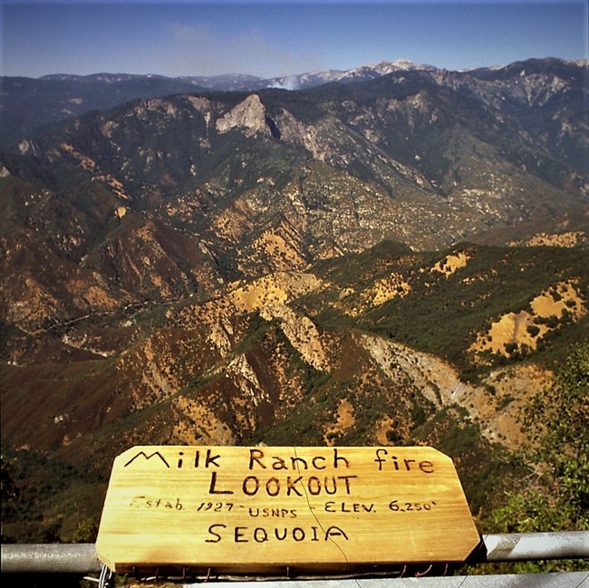
Milk Ranch Peak Lookout - 2012
Lookout Details
| Registry Numbers | US 1517, CA 226 (view other lookouts in United States, California) |
| Date Registered | October 7, 2021 |
| Nominated by | Brad Eells |
| Location |
Sequoia National Park Tulare County, California |
| Coordinates |
N 36° 29.181' W 118° 46.847' (view using Google Maps) N 36° 29' 11" W 118° 46' 51" N 36.486346° W 118.780789° |
| Elevation | 6,250 ft (1,905 m) |
| Built | 1964 |
| Administered by | National Park Service |
Description
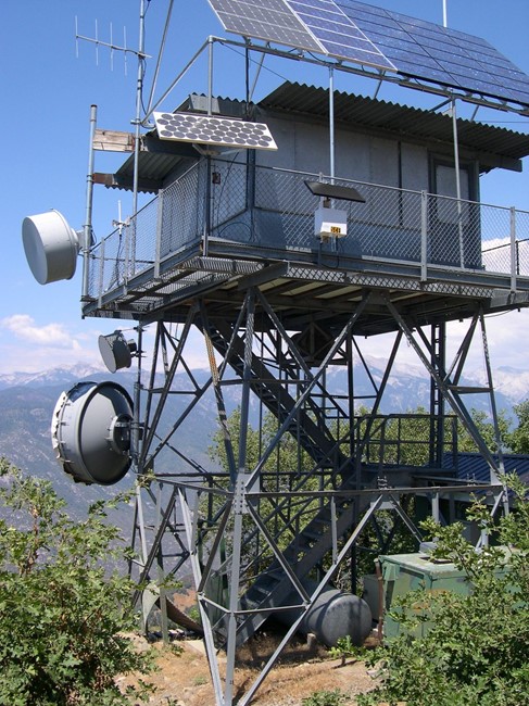
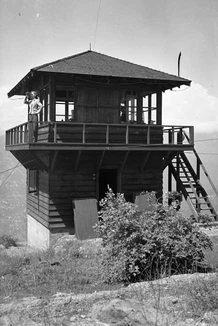
Located on the north end of Milk Ranch Peak, the all steel CL-100 plan 13x13 cabin on a 20 foot K-Brace open steel tower was constructed in 1964.
The new lookout replaced an earlier structure built as early as 1927.
Bob Roberts and Rose Vaughn served as long time lookouts in the 1930's through the 50's.
Milk Ranch Peak was last staffed in 1996 but remained in remarkable condition, ready to serve in emergency use.
The lookout and communications infrastructure was damaged in a burnover early during Paradise Fire that began September 10, 2021. The condition of the structure is still being evaluated as of October 2021.
The Paradise Fire combined with the Colony Fire to the north to become the KNP Complex Fire.
National Park Service employees removed and preserved the Osborne Fire-Finder.
Map
Photos
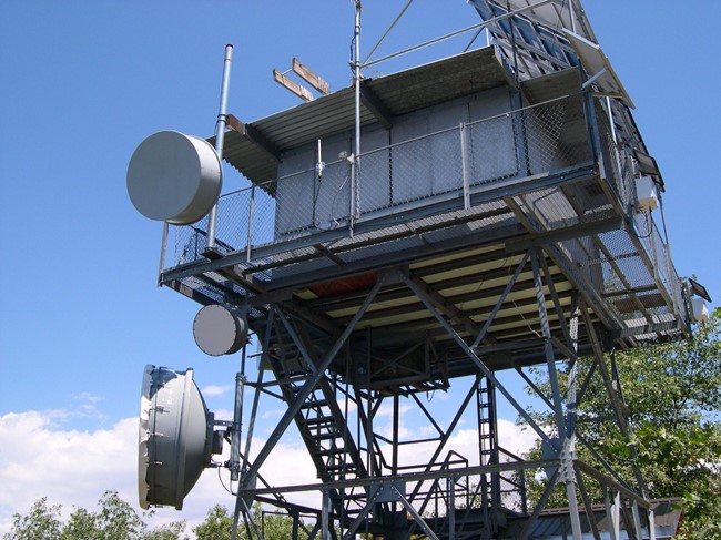
Cabin Detail
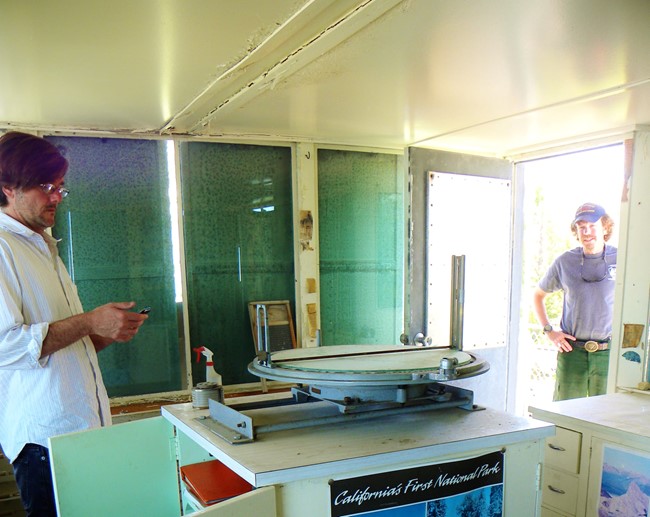
Osborne Fire-Finder in cabin interior
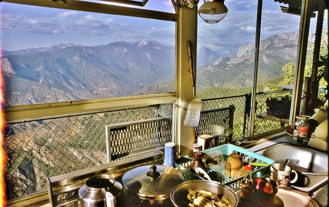
Interior view
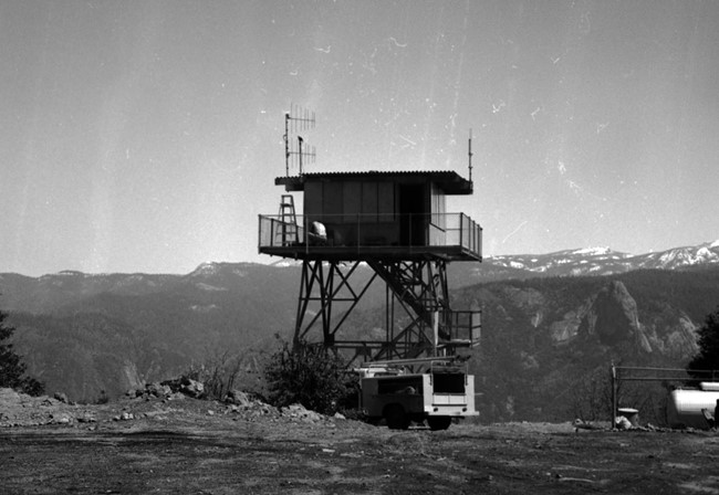
1967
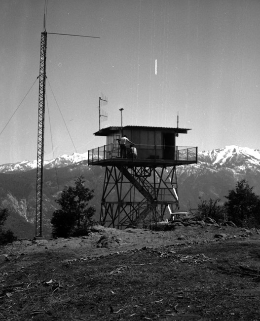
1967 - Great Western Divide View
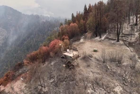
Paradise Fire aftermath at the lookout site
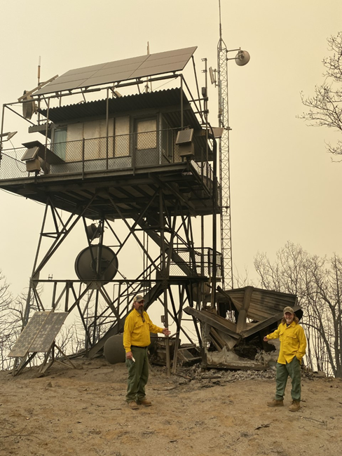
Post Paradise Fire inspection
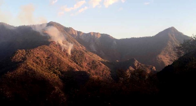
Paradise Fire shortly after lightning caused ignition - Milk Ranch Peak far right
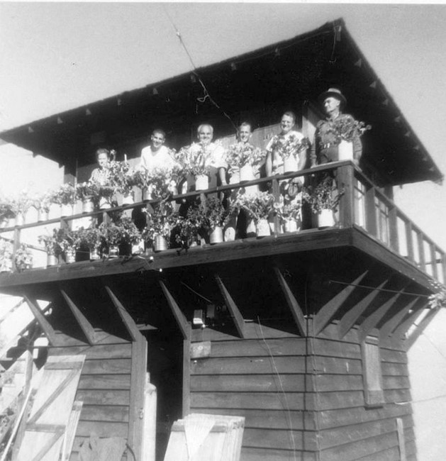
Rose Vaughn on the original lookout structure - 1943
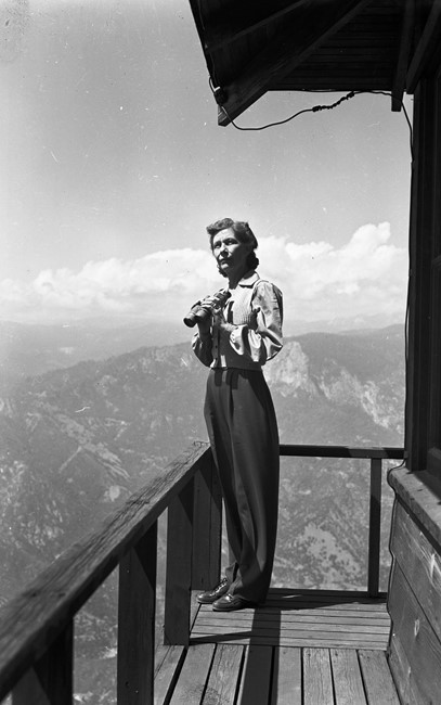
Rose Vaughn at work
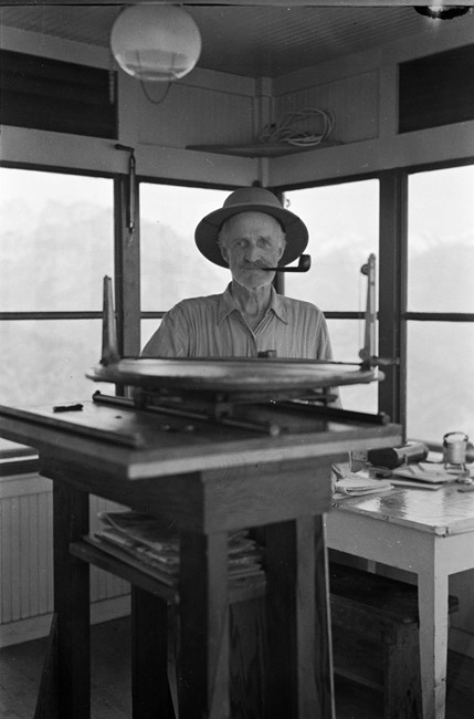
Bob Roberts with the Fire-Finder - 1940's
1959