Rice Peak (Blue Point) Lookout
US 945, ID 99
Lookout Details
| Registry Numbers | US 945, ID 99 (view other lookouts in United States, Idaho) |
| Date Registered | July 21, 2012 |
| Nominated by | Luke Channer |
| Location |
Boise National Forest Valley County, Idaho |
| Coordinates |
N 44° 30.433' W 115° 37.679' (view using Google Maps) N 44° 30' 26" W 115° 37' 41" N 44.507217° W 115.627983° |
| Elevation | 8,696 ft (2,651 m) |
| Built | 1940 |
| Administered by | U.S. Forest Service |
| Cooperators | Cascade Ranger District |
Description
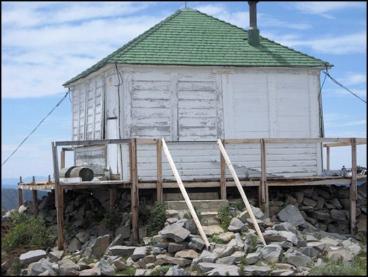
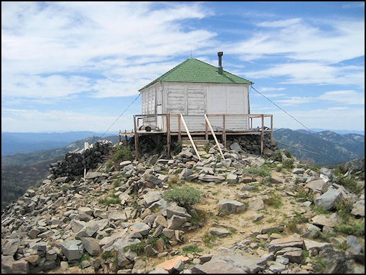
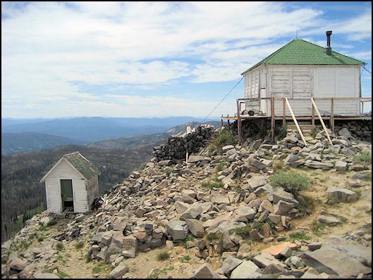
Started as a camp lookout in 1916, the first structure built was a log cupola cabin in 1922. The present L-4 ground cab on cement foundation, built in 1940, has not been used for several years.
Map
Change Basemap
Photos
July 19, 2012
July 19, 2012
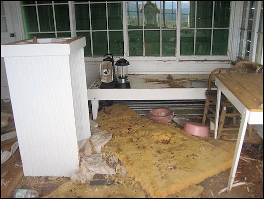
Interior, July 19, 2012
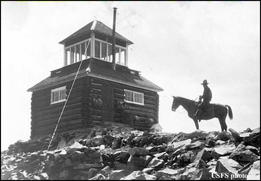
1937
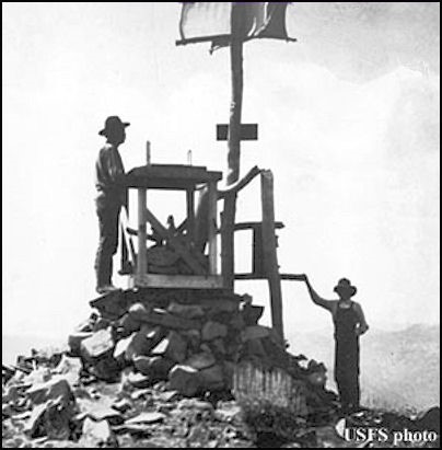
1916