Desolation Butte Lookout
US 1610, OR 137
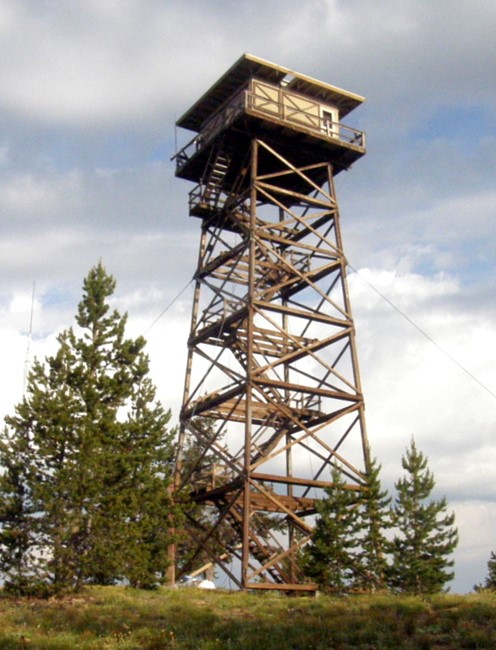
Desolation Butte Lookout - 2008
Lookout Details
| Registry Numbers | US 1610, OR 137 (view other lookouts in United States, Oregon) |
| Date Registered | June 22, 2022 |
| Nominated by | Brad Eells |
| Location |
Umatilla National Forest Grant County, Oregon |
| Coordinates |
N 44° 51.034' W 118° 39.872' (view using Google Maps) N 44° 51' 02" W 118° 39' 52" N 44.850565° W 118.664541° |
| Elevation | 7,034 ft (2,144 m) |
| Built | 1961 |
| Administered by | US Forest Service - Umatilla National Forest |
Description
Desolation Butte was constructed in 1961 replacing an earlier 1923 built 7x7 cabin on a 50 foot open steel tower.
The lookout is an USFS R6 Flat Top cabin design on a 67 foot open timber tower.
Map
Change Basemap
Photos
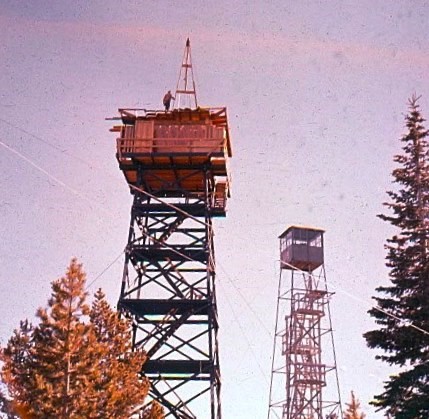
Desolation Butte Lookouts - 1961
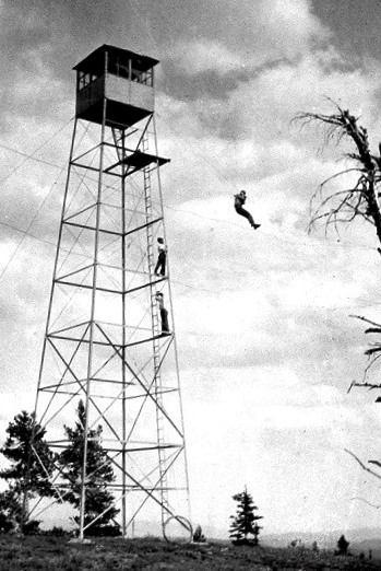
Photo courtesy of the US Forest Service